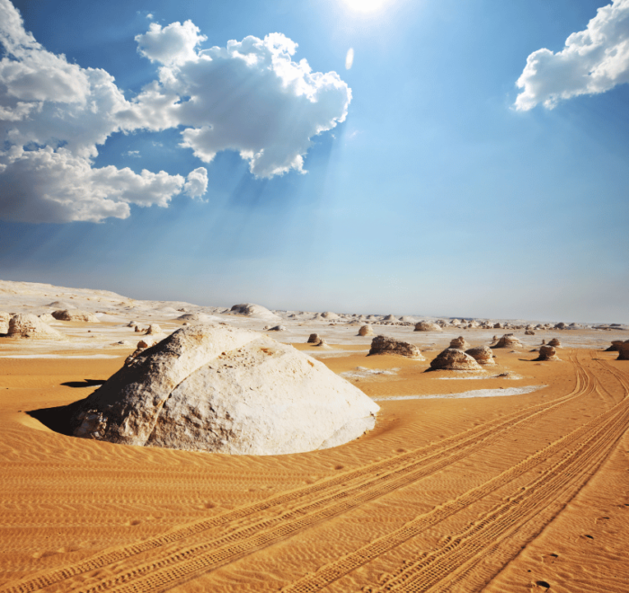
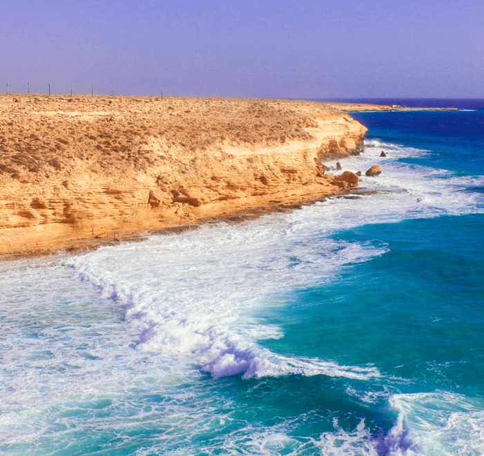
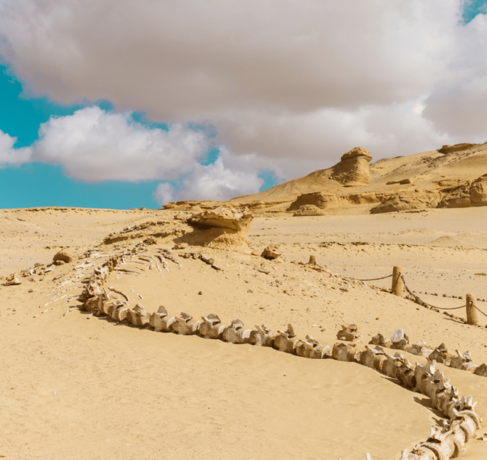
Egypt lies in the north-east corner of Africa, with the Sinai Peninsula linking it to Asia. It borders Libya, Sudan, Israel and Gaza, and has coasts on the Mediterranean and the Red Sea. About one million square kilometres in size, it is mostly desert, and most people live along the Nile. This guide explains the Nile, the deserts, the coasts and the environment, and what they mean for travellers.
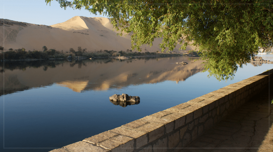
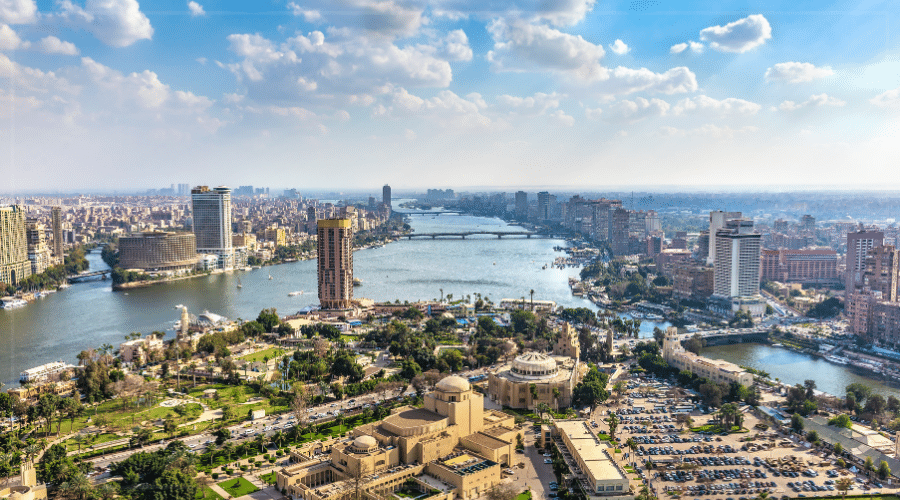
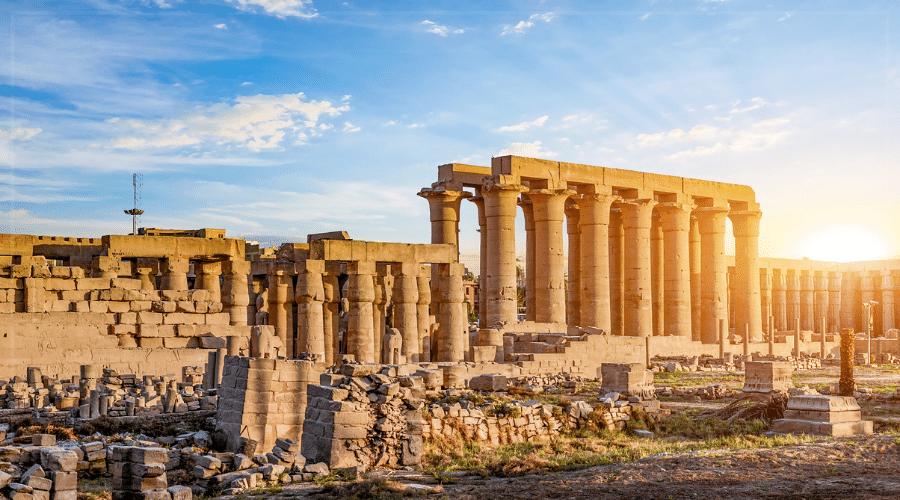


The Nile runs the length of the country for roughly 1,500 km inside Egypt and fans out into the Delta before the Mediterranean. This green strip holds most of the population and almost all farming. Lake Nasser, behind the Aswan High Dam, stores water in the south.
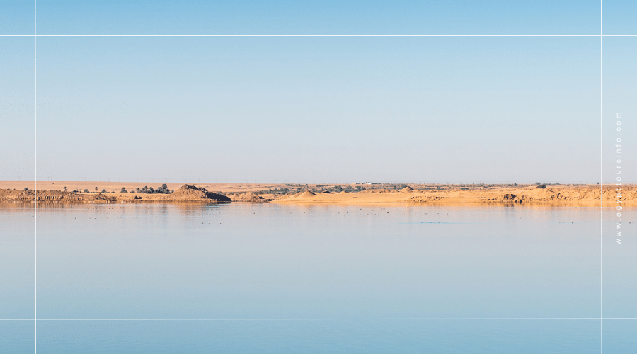
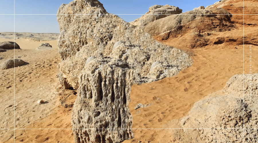
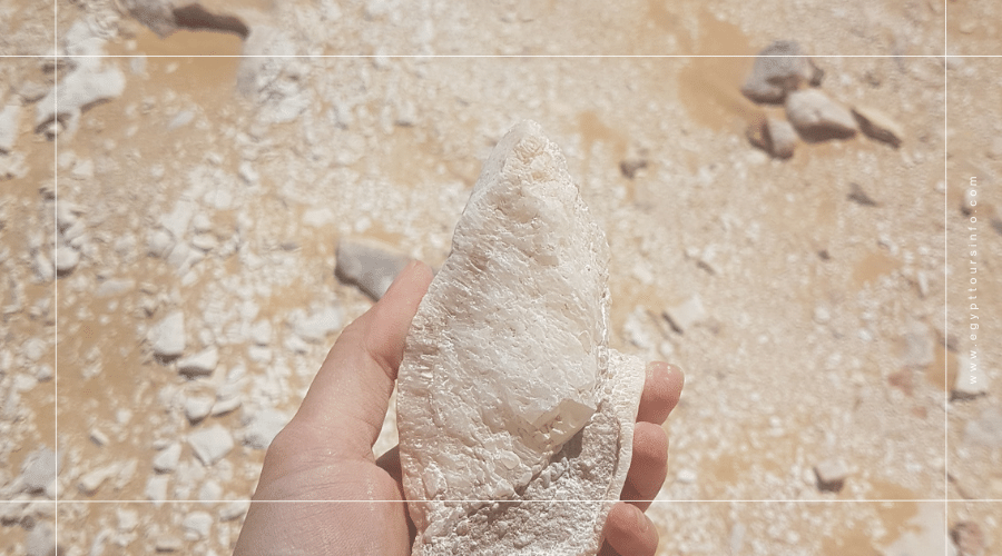
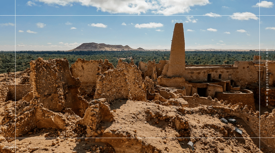
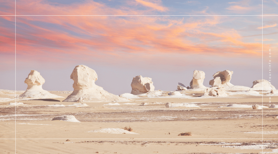
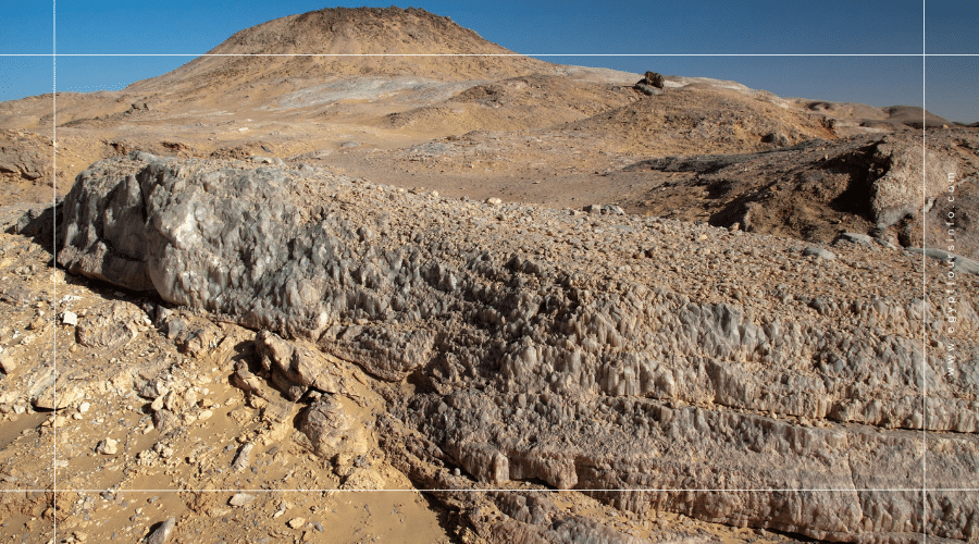
The Western Desert covers much of the country and holds oases such as Siwa, Bahariya and Farafra. The Eastern Desert lies between the Nile and the Red Sea, and Sinai has mountains and canyons. See the White Desert guide and the Mount Sinai guide.
The Red Sea coast and the Gulf of Aqaba have coral reefs, diving and beach resorts, and the Mediterranean coast around Alexandria is cooler. See the top 10 beaches in Egypt.
Cairo and the Delta are crowded and busy. The climate is hot and dry with little rain, and water is a major concern. Visitors can help by saving water and not leaving rubbish in the desert or at the beach. Read our guide to the best time to visit Egypt.
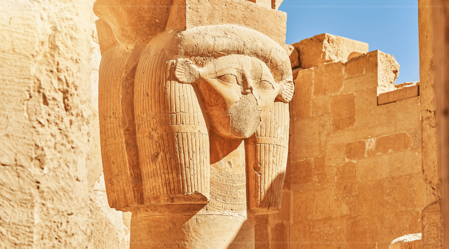
Egypt’s geography explains its history and its trips: the Nile for temples, the desert for adventure and the sea for relaxing.
Book a nearby tour: Giza Pyramids and Egyptian Museum Day Tour from $30.
About one million square kilometres.
The Nile.
Yes. Most people live in the Nile Valley and Delta.
The Mediterranean to the north and the Red Sea to the east.


Get to the heart of Egypt with one of our in-depth guidebooks, covering maps, itineraries, and expert guidance.